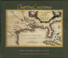
Charting Louisiana
Five Hundred Years of Maps
The Historic New Orleans Collection 2003
hardcover • 14" × 12" • 408 pp.
348 color images
ISBN 978-0-917860-47-8
Winner
Louisiana Endowment for the Humanities 2004 Humanities Book of the Year Award
Louisiana Library Association 2004 Louisiana Literary Award
Gulf South Historical Association 2004 Best Book on the Gulf South Award
Published in 2003 to commemorate the bicentennial of the Louisiana Purchase, Charting Louisiana: Five Hundred Years of Maps relates the epic history of Louisiana from discovery to colonization and development. From the earliest appearance of the Gulf Coast on a sixteenth-century woodcut to a color-enhanced satellite view of the state, this atlas presents an extraordinary gathering of 193 manuscripts and printed maps (all full-color plates), many of them rarely made available to the public. Six supporting essays lead the reader across the historical panorama of Louisiana as found in its cartography.
Featuring an unprecedented compilation of maps from the extensive holdings of The Historic New Orleans Collection, the Geography and Map Division of the Library of Congress, Chicago’s Newberry Library, the Louisiana State Museum, and archives in France, Spain, Great Britain, and Mexico.

